Save Passamaquoddy Bay
Alliance to Protect the Quoddy Region
US
Canada
Passamaquoddy

|
Loading
|
"For much of the state of Maine, the environment is the economy" |
|
|
|
|
|
|
|
|
"Celebrate the Cultural Heritage of the Bay"

Walk at Sipayik, Pleasant Point Passamaquoddy Reservation
29 August 2004
Photographs © 2005 Old Sow Publishing
 |
||||||||||||||||
|
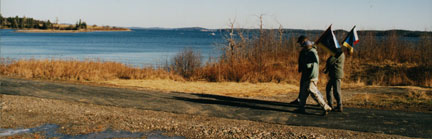
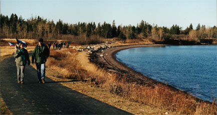
Walkers hike beside Gleason Cove, just a short distance from the trail head at Pleasant Point Reservation.
|
||||||||||||||||
 |
||||||||||||||||
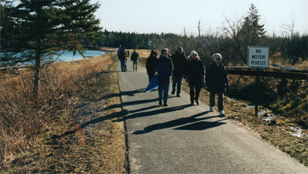
| The paved waterside and wooded trail is for hikers and bicyclists. | ||||||||||||||||
 |
||||||||||||||||
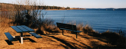
| A new picnic table and bench offer views across Gleason Cove to Gleason Point and to Deer Island and the St. George area of New Brunswick. | ||||||||||||||||
 |
||||||||||||||||
|
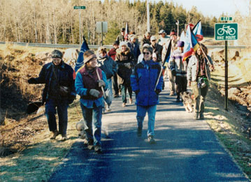
Participants begin the return walk from the trail's terminus at the housing development, near the corner of Rt-190 and US-1.
|
||||||||||||||||
 |
||||||||||||||||
 |
||||||||||||||||
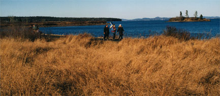
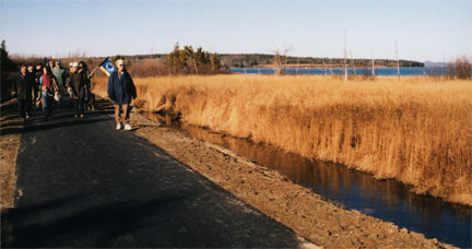
| The Sipayik Walking Trail traverses between Western Passage (the water at the right in each photograph) and a sweetgrass marsh (to the left in each image). | ||||||||||||||||
 |
||||||||||||||||
| Second Island stands watch in Western Passage. | ||||||||||||||||
 |
||||||||||||||||
|
Walkers make their way back to the start of Sipayik Walking Trail.
|
||||||||||||||||
Add our banner to your webpage: ![]()
Read about the effort to Fix FERC: